
 Jasper was developed purely for its tourist draw. The mining was not rich here, nor the timber. Trains were built to connect the East of Canada with the West, and people became aware of the beauty here. So an unholy alliance between the conservationists and the tourism industry was formed.
  Start your geology by learning the names of the mountains. At some of the viewpoints, pull outs, and centers, you will find arrows pointing to some of the more notable mountains. You don't have to memorize them all. Get a map that marks the mountains and make note of which ones you have identified. When you start getting the same mountain identified from different angles, it becomes a whole story.
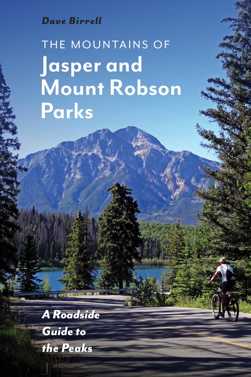


 Most of the closer in trails have great signage. It is worth your while to take the few minutes to read them. Don't worry about understanding all of it. Like a mosaic, the more pieces you take in, the more it makes sense.
 All of the eroded sand and stuff, pilled up, got squished by the weight of the oceans, and eventually it drifted into the Oldman Plate, another older plate. Instead of sliding under (subduction) or riding over, these two plates smashed into each other, rather like two half baked snickerdoodles on a cookie sheet. Going east towards Edmonton, there is little in the way of foot hills, not much in the way of foothills. Just Rockies then Plains.

 What you find here is lots of slate, and shale, some sand stone, marble and such. Much of that very dark grey stone is that Burgess Shale I wrote about in the Fossils and Dinosaur episode.

Along come the ice age, Sheets of ice, the size of states, cover everything. Ice is not static. No, it moves down hill, ever so slowly, grinding, slicing, munching its way along.
Then most of the ice melted. There are still some ice fields left. The largest here is the Athabasca ice field is 325 sq km, (125 sq miles) as it melts, the runoff is huge, or at least to our puny human perspective.

This photo is Edith Cavell Pond with it's own glacier. The icebergs you see are at their maximum in July. The rock is the McNaughton Formation quartzite.
There is a short and long version of this trail. I did the short one. Sitting up at the overlook, occasionally there would be a large cannon like sound as I and rock would break free.

In some locations the glaciers are gone. In the photo, where it is smooth, the glacier has ground down the rock then melted away. Still visible are the tracks where the receding glacier became a chute for avalanche and rock slide.

 Takakkaaw Falls is fed by the Daly Glacier. More on waterfalls in an upcoming blog.
All of this eroding makes for some fabulous pebbles.


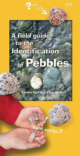
The four preceding photos were taken from my fold out stool, with my feet in the water field guide in hand. Please take note taking of rocks, even pebbles, from the parks is absolutely forbidden.
This publication gave me great fun is A Field Guide to the Identification of Pebbles, Eileen Van der Flier-Keller. I did make the mistake of showing this to one of the guides I met. As a result there was a run on these at the two local book stores.

The odd green color of the lakes here is due to "flour". These are bits of rock, ground so fine that they stay in suspension in the calmest of water.
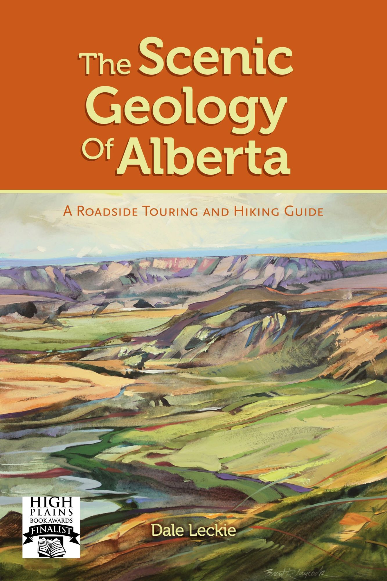
One last book to recommend: The Scenic Geology of Alberta, Dale Leckie. He does a wonderful job of creating narrative from the geology, orienting the information by area rather than by geomorphology. He sets up the stories along the highways. Much more delightful than some of the "Roadside Geology" books. My only complaint is the lack of index.

Comments